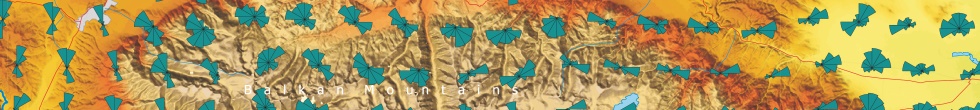
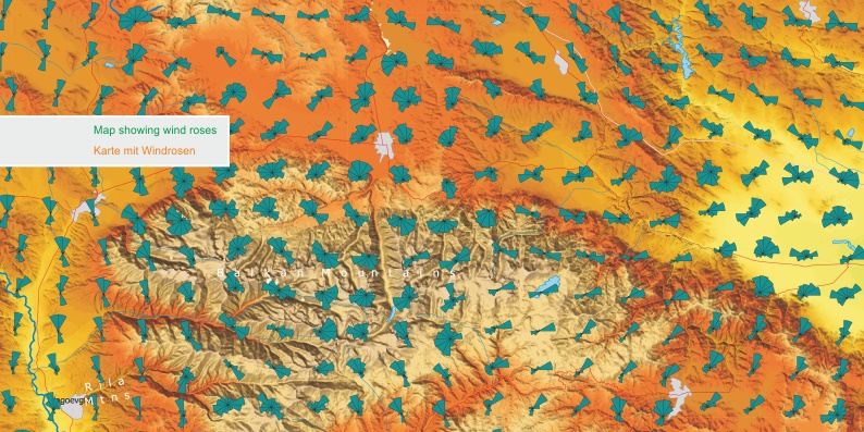
With GWS®, AL-PRO offers a complete system to determine the
wind potential for a wind farm site. The computation of regional GWS® wind
conditions are based on mesoscale and microscale 3D wind modeling. Both modeling
techniques simulate, with high accuracy, complex wind flows in areas where
surface measurements are sparse or non-existent. The metho-dology allows for the
assessment and mapping of wind resources and subsequent estimation of wind farm
yields. GWS® wind modeling is, as standard, based on two different grid
resolutions: a 2 x 2 km grid resolution for mesoscale computations and a 200 x
200 m grid resolution for coupling with microscale computations. Different
resolutions are possible on request.
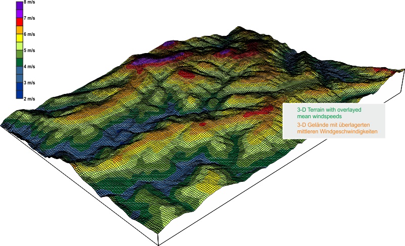
Furthermore we prepare individual potential studies for your wind farm area in a
resolution that is equal to a bankable wind study, e.g. 20 x 20 m, also
including additional information like site specific wind measure-ments. All
relevant parameters are calculated and can be mapped, if desired: as digital
maps, hard copy maps, posters or as pdf reports. A detailed micrositing can be
completed from this analysis – either using your existing spatial configuration
or we can provide suggestions based on our experience.
Click to enlarge!

service - wind potential
wind data analysesservice - wind measurements
evaluation of wind measurementsservice - environment
shadow and noise calculationsabout AL-PRO
company presentation