 |
 |
 |
|
|
|
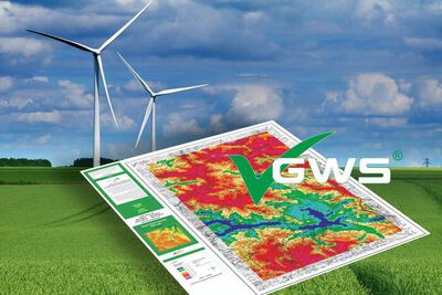
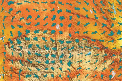
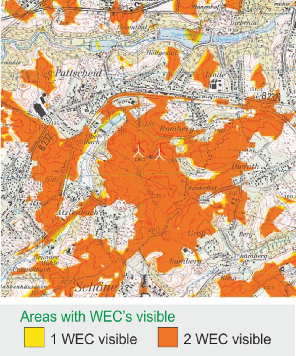
Our visibility studies find out the locations from where your planned wind farm will be visible.
Based on digital databases, topo-graphic maps and aerial photographs, view-obstructing elements such as trees, houses, forests, towns, etc. as well as the orography (hills, mountains, valleys) will be taken into con-sideration.
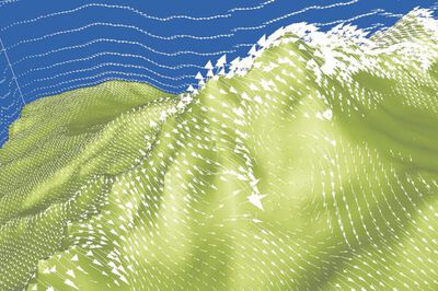
Computer-assisted modeling allows us to map areas that have a complete or partial view of the proposed wind farm.
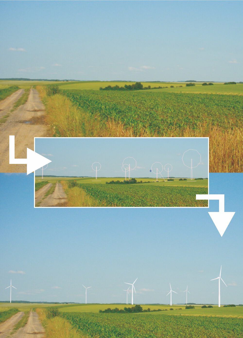
Nowadays in all countries detailed elaborated planning documents are condition for a successful presentation of a wind farm project for public institutions as well as for potential investors.
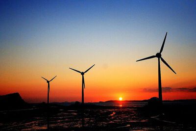
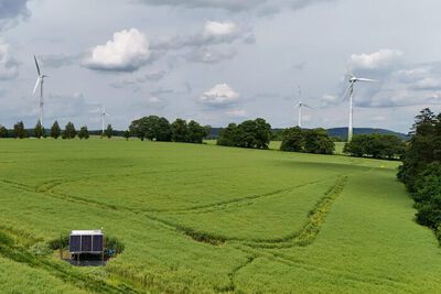
Professional and convincing visualizations (photo-montage) are an essential component of the wind farm planning.
Our experienced team prepares convincing, dynamic and static visualizations in close cooperation with our clients.


Your personal point of contact (North America)
|
fon |
+1 (902) 695-3606 |
|
|
Dorfstraße 100
D-26532 Großheide
fon +49 (0)4936 69860
info@al-pro.de
Suite 21, 390 Marsh Street
New Glasgow, Nova Scotia
Canada, B2H 4S6
fon +1 (902) 695-3606